 Publisher’s NOTE: We rarely will post information about such subjects, as they are generally looked upon as ‘advertising,’ however let the chips fall as they may. I am a subscriber to the website discussed herein. This is too powerful of a historic piece of information. Welcome to Mr. Adair’s Classroom. ~ Jeffrey Bennett
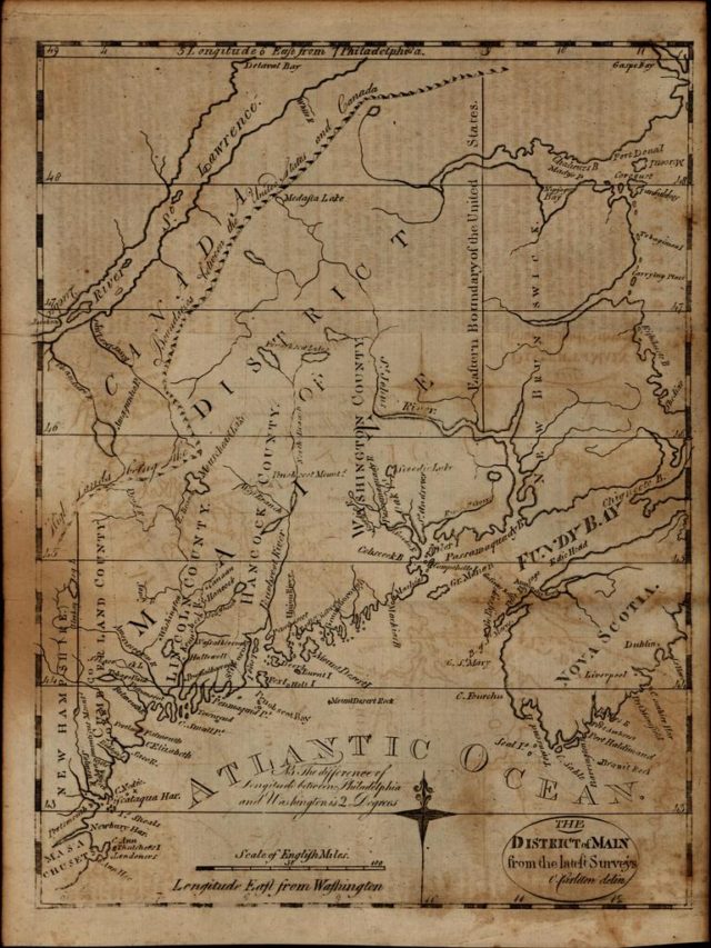
We recently acquired a nice group of 18th century United States maps. Among these was the first printed map of Maine, then a District, some 25 years prior to achieving statehood in 1820.
Most early maps of American interest have been documented and catalogued in different reference books. These include the monumental and thorough two volumes by Philip Burden- The Mapping of North America- spanning the years 1511-1700. But all maps of individual states are produced after this date, so different cartobibliographic sources are needed.

In this short video we discuss using Wheat & Brun’s foundational work, The Maps and Charts Published in America Before 1800, as well as Ed Thompson’s Printed Maps of the District and State of Maine.
Written by Brian DiMambro and published by the Antique Maps, Rare Books & Prints ~ October 12, 2017.
 FAIR USE NOTICE: This site contains copyrighted material the use of which has not always been specifically authorized by the copyright owner. We are making such material available in our efforts to advance understanding of environmental, political, human rights, economic, democracy, scientific, and social justice issues, etc. We believe this constitutes a ‘fair use’ of any such copyrighted material as provided for in section 107 of the US Copyright Law. In accordance with Title 17 U. S. C. Section 107, the material on this site is distributed without profit to those who have expressed a prior interest in receiving the included information for research and educational purposes. For more information go to: http://www.law.cornell.edu/uscode/17/107.shtml
